World map
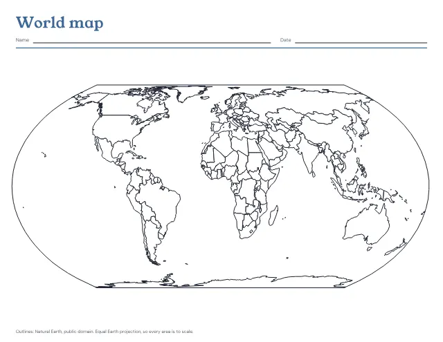
The world’s countries in outline on one landscape page, blank to fill in or with the seven continents and five oceans named. Print a blank map and the named one after it as the answer key.
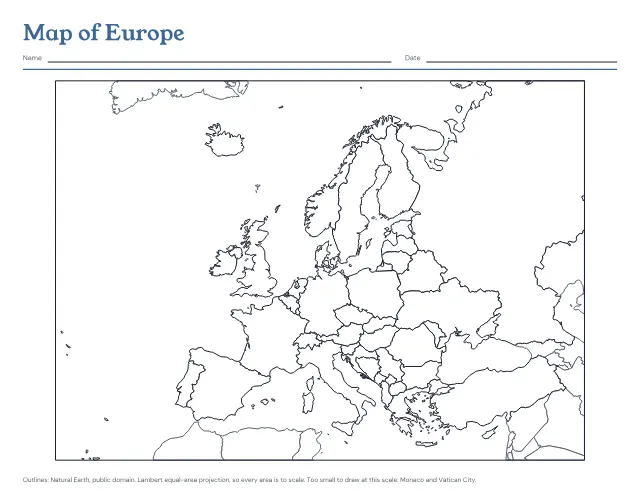
The countries of Europe in outline on one landscape page, blank to fill in or with every country named. Print a blank map and the named one after it as the answer key.
US Letter · Landscape
Free, with no account, email or watermark. Print at 100% or Actual size.
Ready-made PDF (Letter) · Free to print and share copies · Check your print size
Blank shows only the borders, for colouring or labelling from memory. Countries named writes each country’s name inside it; a country too small for its name carries a number, and the numbers are listed beside the map. Blank, then the answer key prints the blank map and the named one after it, so a child can label the first and check it against the second.
Europe’s countries are drawn in a dark line and named, with Turkey and Cyprus, which are usually shown on maps of Europe. Russia runs on past the right edge, across Asia to the Pacific. The land round Europe, in North Africa, the Caucasus and the Middle East, is drawn in a lighter line and left unnamed, as are the Faroe Islands, which belong to Denmark, and the Isle of Man and the Channel Islands, which belong to the British Crown. Monaco and Vatican City are too small to draw at this scale and are named under the map. Crimea is drawn as part of Ukraine, as the UN General Assembly affirmed in 2014.
The world’s countries in outline on one landscape page, blank to fill in or with the seven continents and five oceans named. Print a blank map and the named one after it as the answer key.
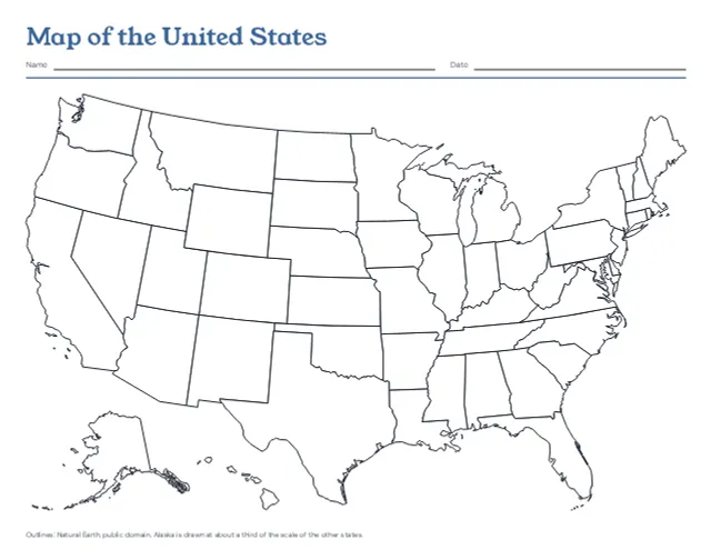
The 50 states in outline on one landscape page, with Alaska and Hawaii set in at the lower left, blank or with every state named. Print a blank map and the named one after it as the answer key.
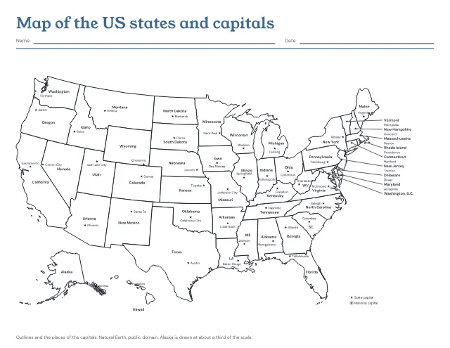
The 50 states in outline with a star at each capital, and each state and capital named. Print it named, with the capitals left to write in, or with only the stars; the named map comes after the one to fill in as its answer key.
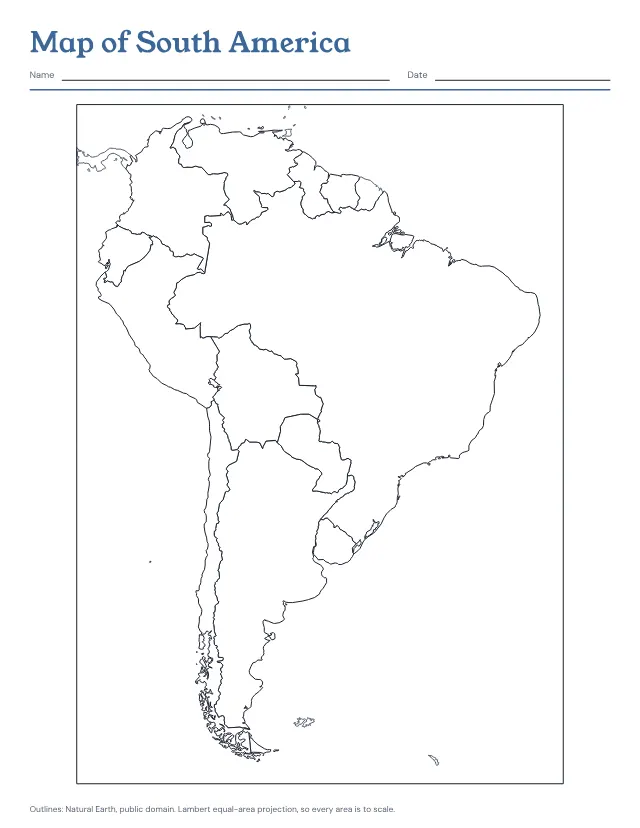
The countries of South America in outline on one page, blank to fill in or with every country named. Print a blank map and the named one after it as the answer key.
No sheets match that. Try a shorter word.
Use the same paper size in the PDF and printer settings. Choose Actual size or 100%. Print a sample before making copies.