Map of the United States
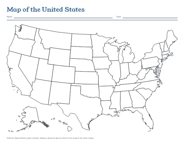
The 50 states in outline on one landscape page, with Alaska and Hawaii set in at the lower left, blank or with every state named. Print a blank map and the named one after it as the answer key.
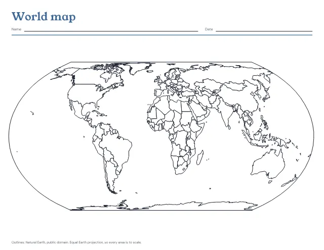
The world’s countries in outline on one landscape page, blank to fill in or with the seven continents and five oceans named. Print a blank map and the named one after it as the answer key.
US Letter · Landscape
Free, with no account, email or watermark. Print at 100% or Actual size.
Ready-made PDF (Letter) · Free to print and share copies · Check your print size
Blank shows only the outlines, for colouring, marking places or labelling from memory. Continents and oceans names Asia, Africa, North America, South America, Antarctica, Europe and Australia, and the Pacific, Atlantic, Indian, Arctic and Southern oceans. Blank, then the answer key prints the blank map and the named one after it, so a child can label the first and check it against the second.
A round Earth cannot lie flat without stretching somewhere. This map uses the Equal Earth projection, which keeps every area to scale, so Greenland is drawn far smaller than Africa, as it really is. The price is that shapes near the left and right edges lean. The Southern Ocean is the fifth ocean that NOAA, the US ocean and weather agency, says most countries now recognize, running from Antarctica’s coast to 60 degrees south. Crimea is drawn as part of Ukraine, as the UN General Assembly affirmed in 2014, and Somalia and Cyprus are each drawn whole.
The 50 states in outline on one landscape page, with Alaska and Hawaii set in at the lower left, blank or with every state named. Print a blank map and the named one after it as the answer key.
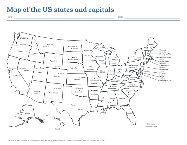
The 50 states in outline with a star at each capital, and each state and capital named. Print it named, with the capitals left to write in, or with only the stars; the named map comes after the one to fill in as its answer key.
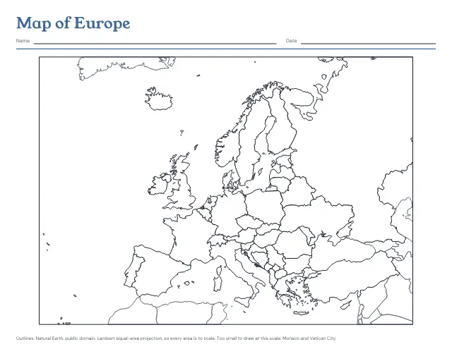
The countries of Europe in outline on one landscape page, blank to fill in or with every country named. Print a blank map and the named one after it as the answer key.
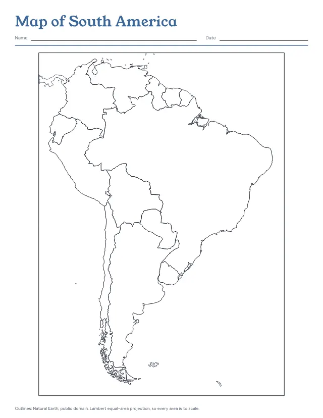
The countries of South America in outline on one page, blank to fill in or with every country named. Print a blank map and the named one after it as the answer key.
No sheets match that. Try a shorter word.
Use the same paper size in the PDF and printer settings. Choose Actual size or 100%. Print a sample before making copies.