World map
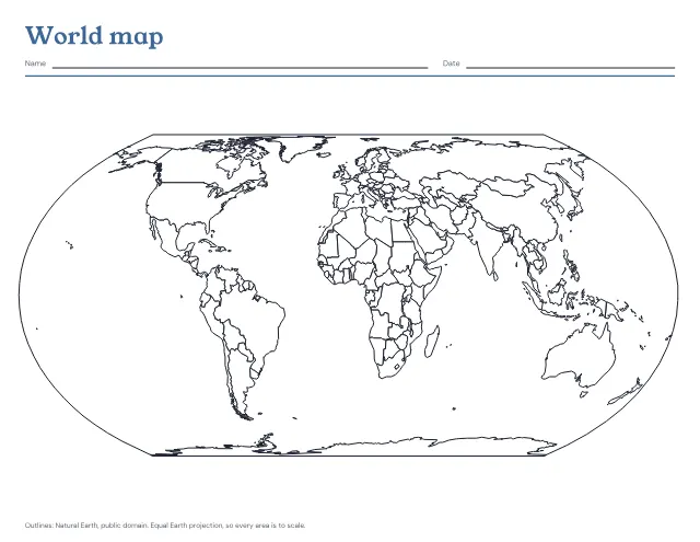
The world’s countries in outline on one landscape page, blank to fill in or with the seven continents and five oceans named. Print a blank map and the named one after it as the answer key.
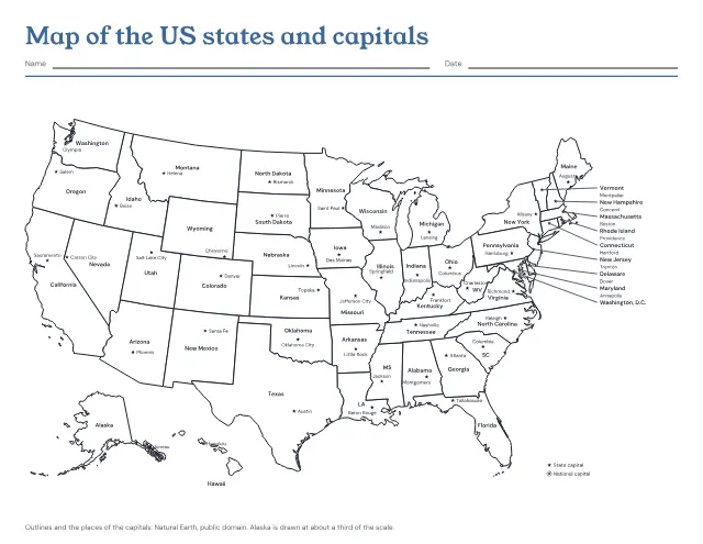
The 50 states in outline with a star at each capital, and each state and capital named. Print it named, with the capitals left to write in, or with only the stars; the named map comes after the one to fill in as its answer key.
US Letter · Landscape
Free, with no account, email or watermark. Print at 100% or Actual size.
Ready-made PDF (Letter) · Free to print and share copies · Check your print size
States and capitals named is the map to learn from: a star marks each capital, with its name beside it, and Washington, D.C., the national capital, has a star in a ring. States named, capitals to write in keeps the stars and the state names and leaves the capitals blank. Capitals to write in, then the answer key adds the named map as a second page, to check against. Blank, capitals marked shows only the state lines and the stars, for naming both from memory.
Learn a region at a time rather than all fifty at once: the West Coast, then the Southwest, and so on. Many capitals are not their state’s largest city (Sacramento, not Los Angeles; Albany, not New York City; Springfield, not Chicago), and those are the ones most often missed, so say them aloud with the state. The eight small states in the Northeast, from Vermont to Maryland, are named beside the map, with a line to each capital, and the line under each name is where the capital goes on the map to fill in.
The world’s countries in outline on one landscape page, blank to fill in or with the seven continents and five oceans named. Print a blank map and the named one after it as the answer key.
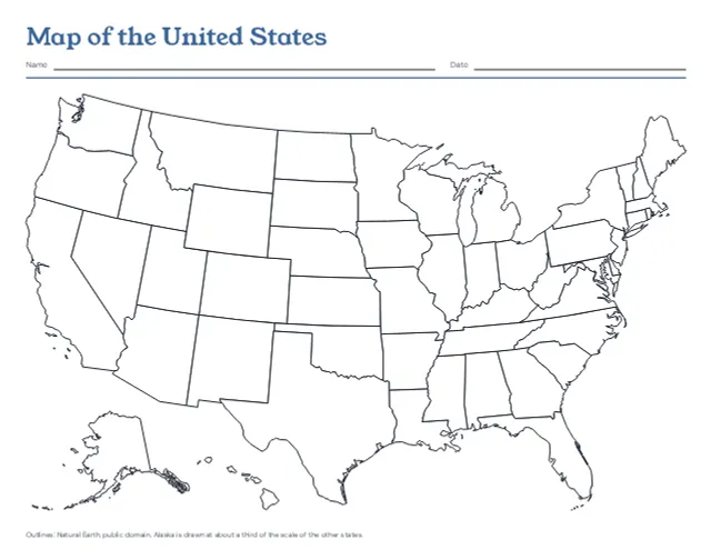
The 50 states in outline on one landscape page, with Alaska and Hawaii set in at the lower left, blank or with every state named. Print a blank map and the named one after it as the answer key.
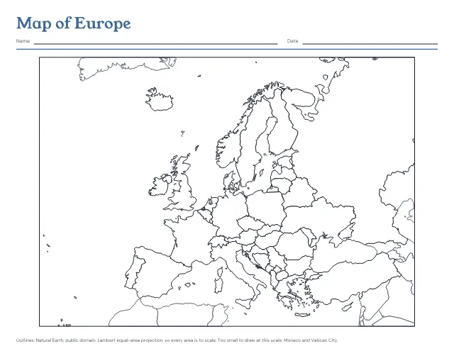
The countries of Europe in outline on one landscape page, blank to fill in or with every country named. Print a blank map and the named one after it as the answer key.
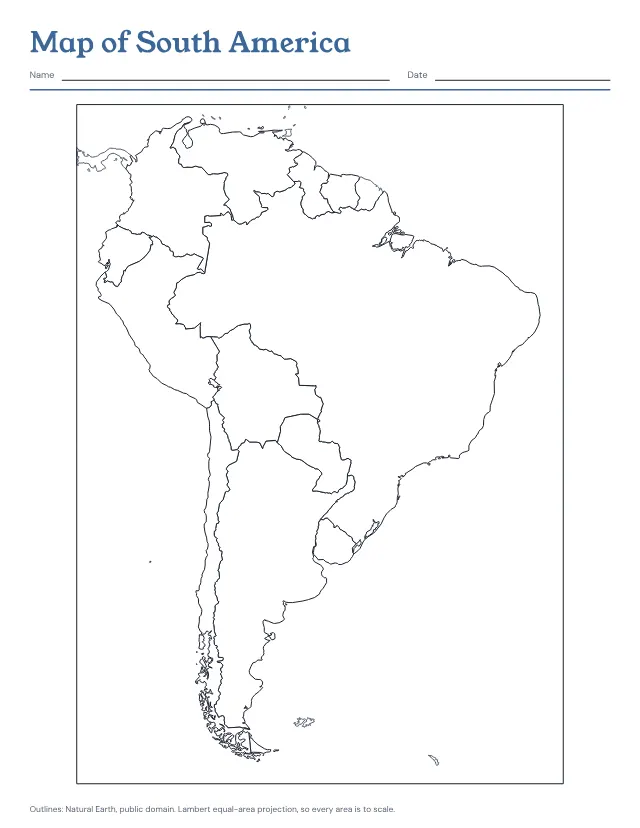
The countries of South America in outline on one page, blank to fill in or with every country named. Print a blank map and the named one after it as the answer key.
No sheets match that. Try a shorter word.
Use the same paper size in the PDF and printer settings. Choose Actual size or 100%. Print a sample before making copies.