Map of Minnesota
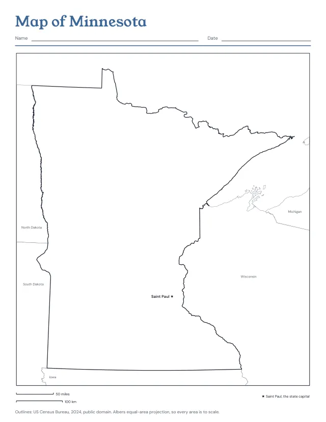
Minnesota from the Census Bureau’s boundaries, with Saint Paul, the state capital, and the states around it; or the outline alone, or its 87 counties, blank or named. Print the blank map and the named one after it as the answer key.
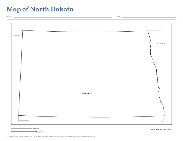
North Dakota from the Census Bureau’s boundaries, with Bismarck, the state capital, and the states around it; or the outline alone, or its 53 counties, blank or named. Print the blank map and the named one after it as the answer key.
US Letter · Landscape
Free, with no account, email or watermark. Print at 100% or Actual size.
Ready-made PDF (Letter) · Free to print and share copies · Check your print size
North Dakota, its capital and the states around it draws the state with a star at Bismarck, its capital, and names the neighbouring states in grey. Outline only prints the shape alone, for colouring or a project. Counties, blank draws its 53 counties with nothing named, to colour or label from memory. Counties named writes each name inside it; where one is too small for its name it carries a number, and the numbers are listed beside the map or on a page after it. Counties to name, then the answer key prints the blank map and the named one after it.
North Dakota has 53 counties. By land area, the largest is McKenzie County, 2,760 square miles (7,149 km²), and the smallest is Eddy County, 630 square miles (1,632 km²).
The two bars under the map show a round number of miles and of kilometres at the size the map prints on your paper. Print at actual size (100%), then mark a bar’s length on the edge of a sheet of paper and step it along the map to measure how far apart two places are. The map is in an equal-area projection centred on the state, so every county’s area is to scale and distances are close to true across the whole state.
Minnesota from the Census Bureau’s boundaries, with Saint Paul, the state capital, and the states around it; or the outline alone, or its 87 counties, blank or named. Print the blank map and the named one after it as the answer key.
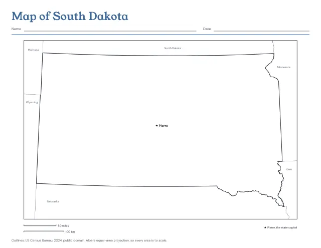
South Dakota from the Census Bureau’s boundaries, with Pierre, the state capital, and the states around it; or the outline alone, or its 66 counties, blank or named. Print the blank map and the named one after it as the answer key.
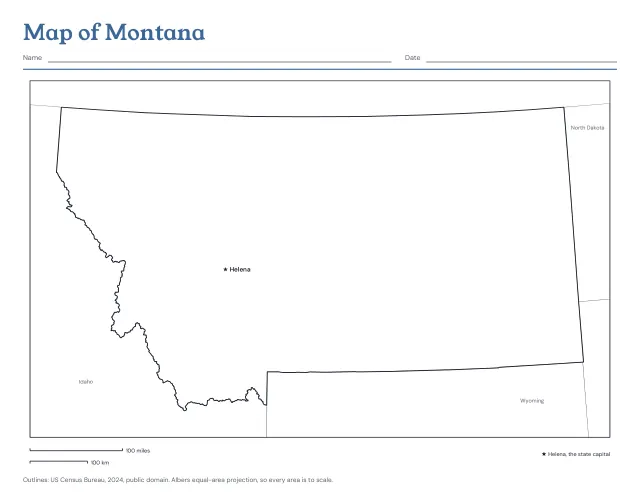
Montana from the Census Bureau’s boundaries, with Helena, the state capital, and the states around it; or the outline alone, or its 56 counties, blank or named. Print the blank map and the named one after it as the answer key.
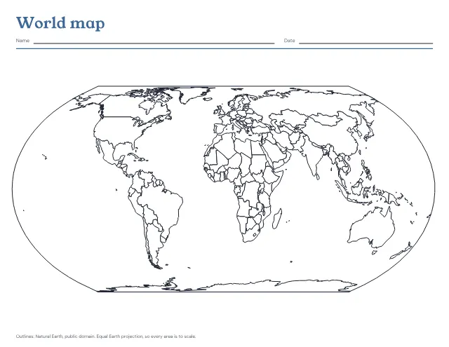
The world’s countries in outline on one landscape page, blank to fill in or with the seven continents and five oceans named. Print a blank map and the named one after it as the answer key.
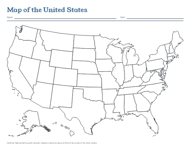
The 50 states in outline on one landscape page, with Alaska and Hawaii set in at the lower left, blank or with every state named. Print a blank map and the named one after it as the answer key.
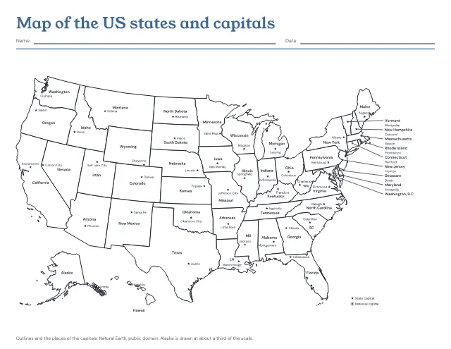
The 50 states in outline with a star at each capital, and each state and capital named. Print it named, with the capitals left to write in, or with only the stars; the named map comes after the one to fill in as its answer key.
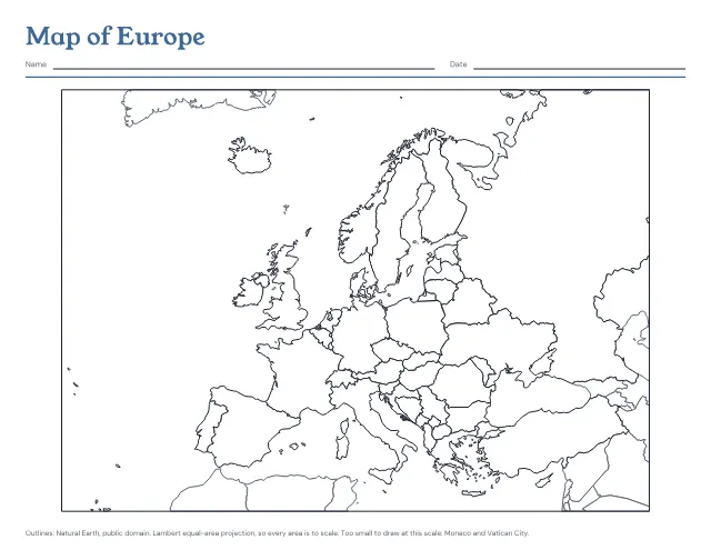
The countries of Europe in outline on one landscape page, blank to fill in or with every country named. Print a blank map and the named one after it as the answer key.
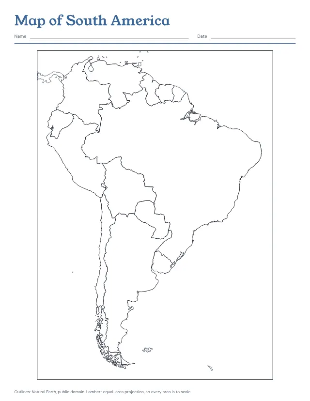
The countries of South America in outline on one page, blank to fill in or with every country named. Print a blank map and the named one after it as the answer key.
No sheets match that. Try a shorter word.
Use the same paper size in the PDF and printer settings. Choose Actual size or 100%. Print a sample before making copies.